
Piva Lake & Canyon: Montenegro's Emerald North
Piva Lake guide: the 45 km emerald reservoir, Mratinje Dam, boat trips from Plužine, the relocated Piva Monastery and how to pair it with Durmitor.
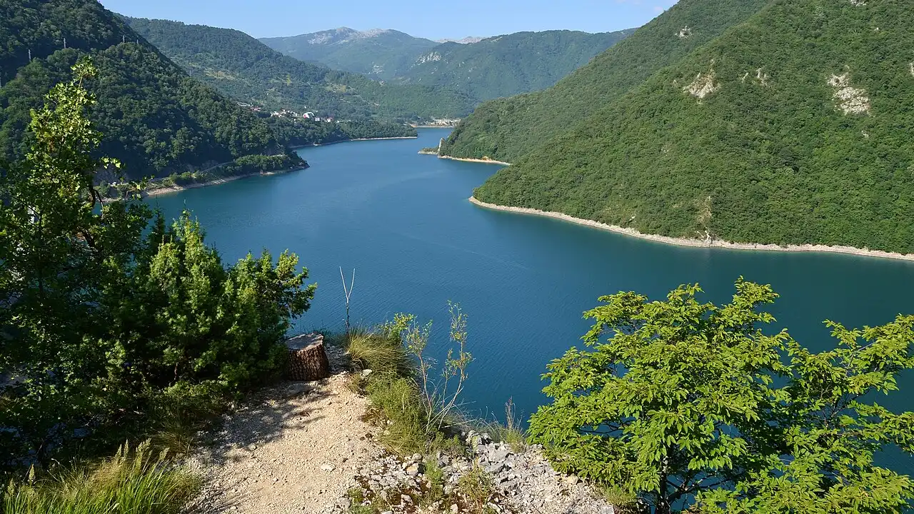
Piva Lake is Montenegro’s largest body of freshwater entirely inside the country: a 45 km ribbon of emerald water wedged between limestone walls in the far northwest. It looks like a wild mountain fjord, but it’s a 1970s hydroelectric project - the Mratinje Dam plugged the Piva Canyon in 1975 and drowned the old valley, including the original site of Plužine and the Piva Monastery. Today you’ll see it from the western arc of the Durmitor Ring road trip, or better still from a boat out of Plužine, where cliffs, caves and swimming bays open up that no roadside pullout can reach.
A canyon turned into a lake
Before the dam, the Piva River cut a gorge roughly 33 km long and up to 1,200 m deep through the massifs of Bioč, Volujak and Maglić - the same high country that backs Durmitor National Park. The canyon was narrow, vertical and largely empty of roads; building a power station here meant accepting that the river valley would disappear under water.
That’s exactly what happened. When the reservoir filled in 1975, the confluence of the Komarnica and Vrbnica went under too, along with old stone bridges and the medieval town of Plužine. If the colour catches you off guard - that sharp blue-green against dark pine - remember there are no glaciers here - it’s karst water, filtered through deep limestone water, not a Caribbean trick of the light. At 675 m above sea level and 188 m at its deepest point, the lake holds a serious volume of cold, clean water; locals treat it as a drinking-water reserve, so you’ll notice a light touch on development along the shore.
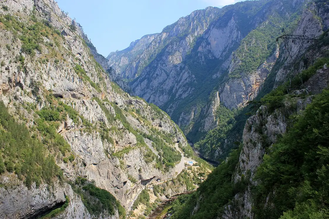
The surface area looks modest on a map (12.5 km²) because the lake is so long and thin - often less than 700 m wide - which is why driving the rim feels like threading a knife slot between walls. That shape also explains why a short boat trip covers ground you’d never duplicate on foot.
Mratinje Dam and the engineering story
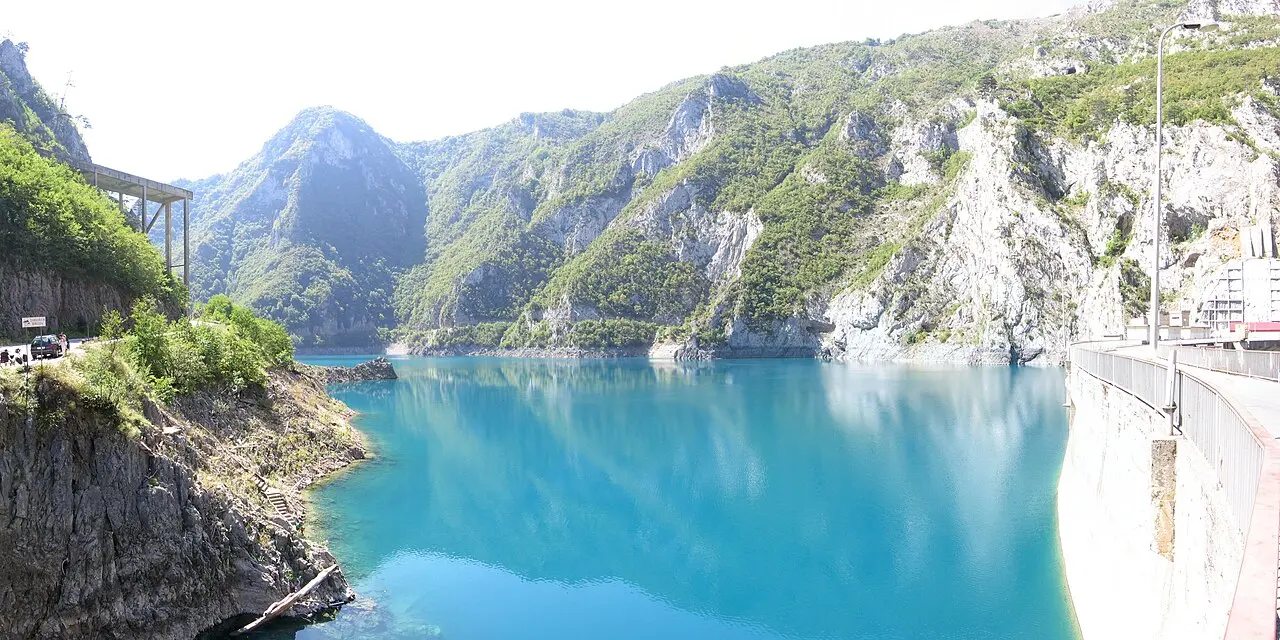
At the lake’s northern end, a few kilometres below Plužine, the Mratinje Dam holds everything back; the road carries on down the canyon from there toward Šćepan Polje and the Bosnian border. It’s a 220 m double-curvature arch dam, among the tallest in Europe - impounding roughly 880 million cubic metres of water. The power station is underground, and the operator, EPCG, puts its installed capacity at 342 MW across three vertical-axis Francis turbines, with the plant in service since 1976.
You can photograph the dam from the road and from boat trips that run in summer; there’s no visitor centre in the theme-park sense, but the scale is obvious when you stand below the wall and realise the lake on the other side is nearly two hundred metres higher than the river outlet. Yugoslav-era infrastructure isn’t everyone’s idea of scenery, yet here it created something genuinely beautiful - and controversial. Entire communities were moved uphill to the new town of Plužine, and engineers had to relocate a national treasure before the flood arrived.
Plužine: base camp on the shore
Plužine is the only real town on the lake - rebuilt above the old waterfront after the reservoir rose. It’s where you’ll fill up if you’re looping Durmitor from Žabljak (about 45 km and an hour west via the P14 ring), or where you’ll stop for lunch if you’re coming from Podgorica (roughly 120 km and 2-2.5 hours on mountain roads). The setting is the attraction: cafés and small hotels look straight onto the water, and the marina at the city beach is the usual start for boat trips.
Don’t expect a resort strip. Plužine is a practical mountain municipality - under 1,500 residents - with a supermarket, a few guesthouses and excellent views. That’s part of the appeal. Most foreign visitors blow through on the ring road, snap a photo from a hairpin, and keep driving. Staying one night, or even taking a two-hour boat ride, separates you from the coach-window crowd.
On the water: boats, bays and Oteša cave
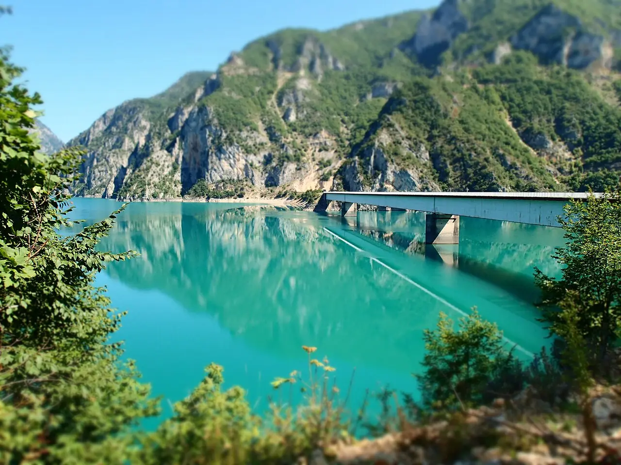
Driving shows you the lake from above; getting on the water shows you why people bother. Local operator Piva Lake (pivalake.me) runs a two-hour circuit from Plužine city beach that includes a swim stop in Podvodje Bay, time on a stand-up paddleboard when the water is flat, and a visit to Oteša cave - a cliff hollow known for nesting swifts whose calls echo inside the chamber.
Their published price tiers (undated on the site, so confirm before you board): €20 per person for groups of ten or more, €25 from four people upward, and €35 if you’re fewer than four. Other skippers work the marina in season with similar routes; treat every quote as a starting point and ask what’s included (cave entry, swimming time, drinks). In warm months you’ll also see kayaks for hire from adventure outfits around Plužine - a quieter way to reach bays the road never touches.
One detail worth knowing: when the reservoir is drawn down, ruins of old Plužine can appear above the surface. It’s not guaranteed - it depends on water management that year - but boat guides sometimes point them out, and it’s a strange reminder that the postcard lake is only fifty years old.
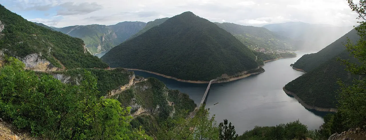
Swimming is informal - find a calm bay, check boat traffic, and remember the water stays cold until midsummer. There is no organised beach club scene; bring towels and shoes you don’t mind on pebbles.
Piva Monastery: moved stone by stone
The Piva Monastery (Manastir Piva) is the human story behind the lake. Built 1573-1586 at the river’s source, it ranked among the largest Serbian Orthodox churches raised under Ottoman rule, with roughly 1,260 m² of frescoes painted in the early 1600s. When engineers finalised the dam plan, the monastery sat about 100 m below the future waterline.
Between 1969 and 1982, crews dismantled the church block by block, moved the fresco fragments, and rebuilt on higher ground in Goransko, about 7 km south of Plužine on the E-762 road toward Foča. You’re visiting a faithful relocation, not the original valley site - which is underwater - and that makes the interior feel all the more deliberate. The museum holds liturgical books, metalwork and a psalter from the Crnojevići press, among the first printing houses in the Balkans.
Entry is typically by donation; dress modestly and check whether a service is underway before you photograph inside. Even if monasteries aren’t usually your thing, the relocation story connects the lake, the dam and the culture of the region in one stop - worth 30-45 minutes on a Plužine day.
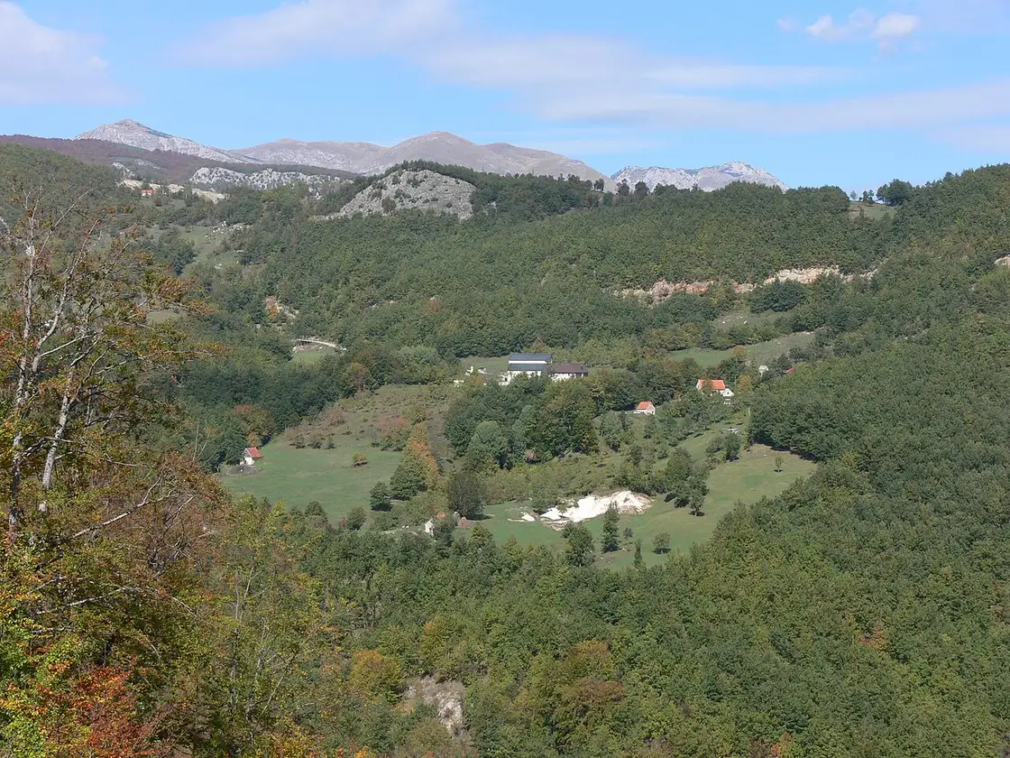
Driving the lake and fitting it into Durmitor
Most visitors first see Piva from the western arc of the Durmitor Ring - the stretch between Trsa, Sedlo Pass and the descent toward Plužine described in our Durmitor Ring road trip guide. That loop is the efficient way to combine Black Lake, the Tara Bridge and Piva in one long day from Žabljak, but it’s windshield tourism unless you stop.
If you’ve got time, split the experience: Day 1 for Tara and Black Lake, Day 2 for Plužine, a boat trip and the monastery - sleep in Žabljak or on the lake shore. The P14 over Sedlo (about 1,907 m) is the high paved pass on the ring; it’s usually open from late spring through October, and snow can linger on the shoulders into June, so check conditions if you’re driving early in the season.
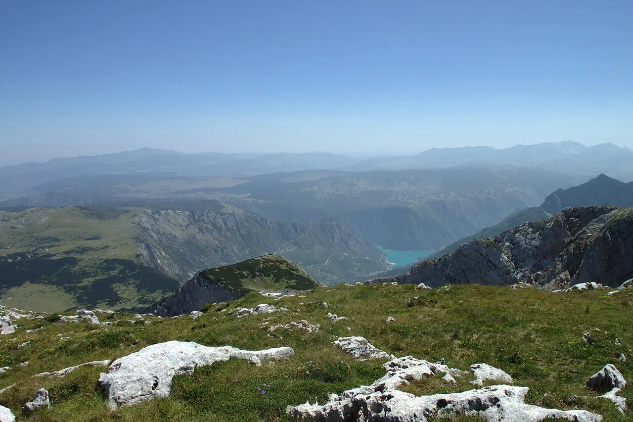
Without a car, you’re reliant on buses between Nikšić, Plužine and Žabljak - workable in summer but sparse. Organised day tours from the coast exist, though you’ll spend more time on transfer roads than on the lake; if Piva is the goal, base in the north for a night.
When to go and what to pack
June through September is the practical window: boats run, swimming is tolerable, and the Sedlo road is reliably open. May and October can be superb for empty viewpoints and golden light, but water temperature drops fast and some operators wind down by late October. Winter turns the north into ski and snow country around Žabljak; the lake doesn’t close, but boat trips and pass driving aren’t the draw.
Pack layers - 675 m at the surface doesn’t sound high until a breeze cuts across the water - plus sun protection and cash for park fees elsewhere in Durmitor and for boat tickets in Plužine. Fuel in Žabljak before you loop; Plužine has services, but you don’t want to gamble on the western arc with a low tank.
Nearby / read also
- Durmitor Ring road trip - the one-day loop that strings Sedlo, Black Lake, Tara and Piva together.
- Durmitor National Park - hikes, Black Lake and the wider UNESCO massif.
- Žabljak, Montenegro - where to stay and refuel for the northern mountains.
- Tara Canyon rafting - the eastern gorge and bridge, an easy pair with Piva in a two-day north country itinerary.
On the map
The map loads on click - to keep the page lightweight.
The map didn’t load. Check your connection and refresh the page.
Admission and opening hours
- Admission price
- Boat tour from €20 pp (10+ people, 2 h, pivalake.me, Aug 2026)
- Opening hours
- Boats run in warm months; confirm locally
Lake access is free; boat and monastery donations vary by season
Details checked: August 27, 2026
Distance ≈120 km · ≈2-2.5 h
- Podgorica ≈120 km · ≈2-2.5 h
Read also

What to see · 10 min read
Hiking Bobotov Kuk: Durmitor Highest Peak
Verified · September 4, 2026Bobotov Kuk hike at 2,523 m: Sedlo (~10 km RT) vs Lokvice from Black Lake, €5 park fee, cables, season and early-start tips.

What to see · 10 min read
Swimming in the Bay of Kotor: Beaches & Lidos
Updated · August 31, 2026Can you swim in Kotor? Yes - on Dobrota pontoons, Morinj and small Boka shores. Water quality, season and what to expect.

What to see · 11 min read
Rent a Boat in Kotor Bay: No Licence Needed
Updated · September 25, 2026Private boat rental in Kotor Bay 2026: skippered hire from €90/h, bareboat prices, licence rules, speed limits and where boats leave from.

What to see · 8 min read
Where to Stay in Ulcinj: Old Town vs Velika Plaža
Updated · August 24, 2026Where to stay in Ulcinj: Old Town for atmosphere and Mala Plaža below, or Velika Plaža for 13 km of sand, kitesurf and resort hotels - who each suits.